


Park Rapids P-1, Hubbard County, Minnesota
About
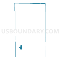
Outline

Summary
| Unique Area Identifier | 602557 |
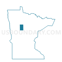
| Name | Park Rapids P-1 |
| County | Hubbard County |
| State | Minnesota |
| Area (square miles) | 3.61 |
| Land Area (square miles) | 3.61 |
| Water Area (square miles) | 0.00 |
| % of Land Area | 100.00 |
| % of Water Area | 0.00 |
| Latitude of the Internal Point | 46.91392940 |
| Longtitude of the Internal Point | -95.07298200 |
Maps

Graphs
Select a template below for downloading or customizing gragh for Park Rapids P-1, Hubbard County, Minnesota


Neighbors
Neighoring Voting District (by Name) Neighboring Voting District on the Map
- Park Rapids P-2, Hubbard County, MN
- Straight River Twp. Voting District, Hubbard County, MN
- Todd Twp. P-1, Hubbard County, MN
Top 10 Neighboring County Subdivision (by Population) Neighboring County Subdivision on the Map
- Park Rapids city, Hubbard County, MN (3,709)
- Todd township, Hubbard County, MN (1,393)
- Straight River township, Hubbard County, MN (726)